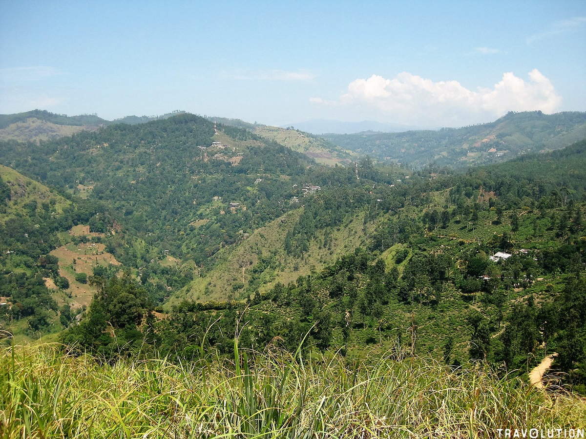
Rising majestically above Ella town like a stone guardian, Ella Rock is the definitive mountain trek of Sri Lanka’s central highlands. Unlike the paved steps of Little Adam’s Peak, hiking Ella Rock is a genuine backcountry adventure: an 8-kilometer round-trip trek that takes you along active railway lines, across bamboo-flanked rivers, through tea terraces, and up through steep eucalyptus forests to a thrilling 1,000-meter vertical cliff face.
1. Step-by-Step Route Breakdown
The total trek takes approximately 4 hours round-trip:
- Walking Railway Tracks (40 mins): The adventure begins by walking south along the railway line from Ella Station toward Kitha-Ella station. Step off the tracks safely whenever you hear train horns.
- Crossing River Bridge (10 mins): Just past Kitha-Ella station, turn left off the tracks and cross an iron footbridge over the bubbling river.
- Through Tea Terraces (25 mins): Follow narrow dirt paths winding upward through village tea smallholdings.
- The Eucalyptus Forest Ascent (45 mins): The path turns steeply uphill, climbing across exposed tree roots and red clay through a fragrant, towering eucalyptus plantation.
- The Summit Lookout: Emerge onto the broad granite ledge of Ella Rock. The cliff drops sheer down into the southern lowlands, with Little Adam’s Peak visible across the valley like a miniature toy hill.
2. How to Avoid Getting Lost
Because there are minimal official trail signs, hikers occasionally take wrong turns in the tea terraces:
- Download an offline GPS map app (such as AllTrails or Maps.me) before departing.
- Or hire a trusted local guide arranged through your Pio Lanka chauffeur.
3. Essential Preparation Checklist
- Start Time: Begin by 6:30 AM at the latest. By 10:30 AM, low-hanging clouds typically roll into the Ella Gap, obscuring the panoramic view.
- Footwear: Sturdy hiking boots or trail running shoes with good grip. The dirt trails can be slippery, especially after evening rain.
- Hydration & Snacks: Bring at least 1.5 liters of water per person and light fruit or energy bars.
“After descending Ella Rock around 11:00 AM, have your driver take you straight down to the base of Ravana Falls on the Wellawaya road. Sitting at a roadside stall with a fresh king coconut while cool mountain spray drifts off the waterfall is the ultimate post-hike reward.”
Lakshman